Our company conducts research and development on specific prompt remotesensing technologies using UAVs from the perspective of mineral exploration and disaster prevention geology.
Airborne magnetic survey is one of these technologies.
Aeromagnetic surveys have been conducted for several decades using aircraft and helicopters and have a well-established technical system.
We are building a system to implement it quickly, easily and at low cost with higher resolution by converting it to UAVs (≒drones).
There are already precedents for this approach both in Japan and abroad, and the results have been encouraging. However, published information is limited and very little is available.
The reasons for this are.
The number of entrants is still low and competition is to be avoided (high barriers to entry and unknowns).
The information is very useful, but the volume is small in terms of need.
The technology is technically multidisciplinary, so it seems complicated to the eye.
The project is not very useful, but the volume is small as a need.
The following are some of the reasons for this.
By measuring airborne magnetic values and combining them with other information (topography, temperature distribution, surface orthophotography), we are able to
The distribution area of alteration zones showing signs of mineralisation
The distribution of potentially active fault zones.
Areal location of magma in active volcanic zones
The area of the distribution of alteration zones that show signs of mineralisation
The magnetometer will make it possible to quickly locate such things as the distribution area of alteration zones showing signs of mineralisation, the distribution area of potentially active fault zones, the areal location of magma in active volcanic belts, and sites hidden in forests from a wide area.
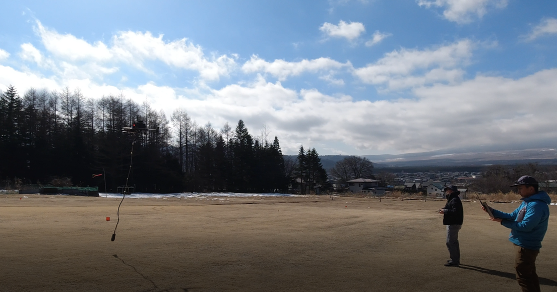
This article will cover the development of a magnetometer-equipped drone and the actual measurements made using it in several articles.
There will be three main topics to be sent
1 The selection process for the magnetometer to be mounted on the drone, and the equipment and materials required for its development.
2 Measurement tests and the history of the tests
3 Processing and analysis of the measured values